Online or onsite, instructor-led live Geographic Information System (GIS) training courses demonstrate through interactive hands-on practice how to use a GIS to capture, store, manipulate, analyze, manage, and present spatial or geographic data for government.
GIS training is available as "online live training" or "onsite live training". Online live training (also known as "remote live training") is conducted via an interactive, remote desktop. Onsite live training can be conducted locally on customer premises in Mississippi or in Govtra corporate training centers in Mississippi.
Govtra -- Your Local Training Provider for Government
Flowood, MS – Regus at Market Street
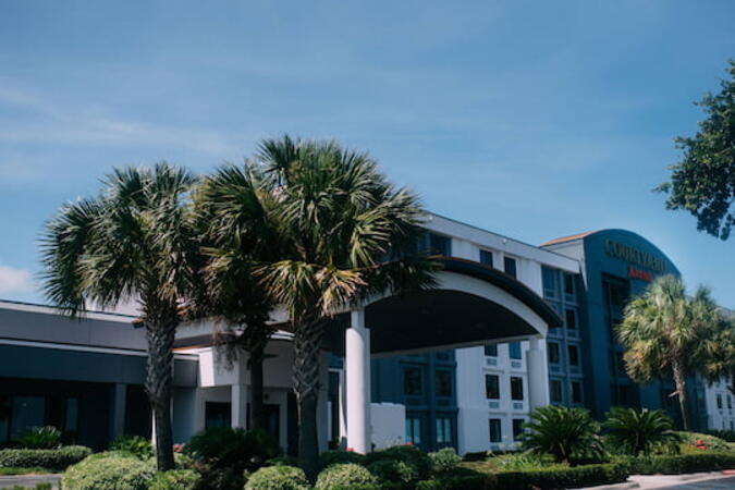
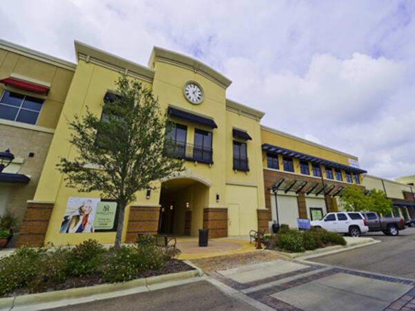
232 Market Street, Flowood, United States, 39232
The venue is centrally located at Market Street Flowood, just off US‑25/Lakeland Drive and Old Fannin Road, with plentiful free on-site and nearby municipal parking. From Jackson‑Medgar Wiley Evers International Airport (JAN), about 10 miles northwest, a taxi or rideshare takes around 15 minutes via I‑55 North and Lakeland Drive. Public transit is available via JATRAN buses serving Lakeland Drive with stops just steps from the entrance, making it accessible even without a car. The pedestrian-friendly plaza also includes shaded seating and walking paths connecting retail and dining options.
Gulfport, MS
1600 E Beach Blvd, Gulfport, United States, 39501
The venue is conveniently accessible by car via US‑90/Beach Boulevard, with on-site parking available for a daily fee. For those arriving by air, Gulfport–Biloxi International Airport (GPT) is just a short 5-minute drive away, approximately 5 miles via East Beach Boulevard. Public transportation is also an option, with Coast Transit Authority routes serving the area and the Gulfport Amtrak Station located about 0.7 miles from the venue. Rideshare services and local shuttles provide additional convenient transportation options.
Jackson, MS - Regus at East Capitol Street
317 East Capitol Street, Jackson, United States, 39201
The venue is conveniently accessible by car via I‑55 and I‑20, with public parking options available near the Capitol area. For those using public transportation, several Capital Area Transit System (CATS) bus lines stop along East Capitol Street, providing easy access to the venue. Travelers arriving at Jackson–Medgar Wiley Evers International Airport (JAN) can reach the location in approximately 15 minutes by car, taking I‑55 North and East Capitol Street for a quick 10-mile drive.
ArcGIS Professional Plus is an advanced version of ArcGIS Pro, designed to provide enhanced capabilities for geospatial data analysis, 3D modeling, automation, and enterprise collaboration.
This instructor-led, live training (available online or on-site) is tailored for intermediate-level GIS professionals who aim to deepen their expertise in spatial data analysis, automation, and sharing using the tools provided by ArcGIS Professional Plus.
By the end of this training, participants will be able to:
- Utilize ArcGIS Pro Plus tools for advanced data visualization and analysis.
- Develop 2D and 3D maps with sophisticated symbology and geoprocessing techniques.
- Automate workflows through the use of ModelBuilder and Python scripting.
- Integrate ArcGIS with external data services and enterprise systems.
**Format of the Course**
- Interactive lectures and discussions.
- Extensive exercises and practice sessions.
- Hands-on implementation in a live-lab environment.
**Course Customization Options for Government**
- To request a customized training program tailored to specific needs, please contact us to arrange.
This instructor-led, live training in [location] (online or onsite) is designed for government GIS professionals and analysts at all levels who wish to effectively use ArcGIS for data visualization, spatial analysis, and geospatial project management.
By the end of this training, participants will be able to:
- Navigate and utilize ArcGIS tools for geospatial data management.
- Create and customize maps with layers and attributes.
- Perform advanced spatial analysis and geoprocessing tasks.
- Automate workflows using ModelBuilder and Python for government applications.
This instructor-led, live training in [location] (online or onsite) is designed for advanced-level GIS professionals who wish to utilize ArcGIS Pro to enhance their spatial analysis capabilities, conduct comprehensive geostatistical analysis, and apply advanced 3D modeling techniques for more effective decision-making and problem-solving in real-world scenarios.
By the end of this training, participants will be able to:
- Develop advanced skills in spatial analysis techniques using ArcGIS Pro.
- Utilize Python scripting for automation and complex data processing tasks.
- Apply spatial modeling to address real-world challenges.
- Conduct geostatistical analysis for advanced data interpretation.
- Integrate external data sources and leverage 3D spatial data analysis, ensuring alignment with the specific needs of public sector workflows for government.
This instructor-led, live training in Mississippi (online or onsite) is designed for beginner-level IT support personnel who aim to provide robust support for ArcGIS Enterprise, effectively addressing any anomalies or failures.
By the end of this training, participants will be able to:
- Understand the architecture and components of ArcGIS Enterprise.
- Learn how to install, configure, and manage ArcGIS Enterprise.
- Acquire skills in troubleshooting and resolving common issues.
- Develop proficiency in monitoring and maintaining ArcGIS Enterprise environments.
- Master techniques for backup, recovery, and performance optimization, ensuring reliable service delivery for government operations.
This instructor-led, live training in [location] (online or onsite) is designed for government professionals at the beginner level who wish to learn the fundamental concepts and tools of ArcGIS.
By the end of this training, participants will be able to:
- Understand the basic principles of Geographic Information Systems (GIS) and spatial data.
- Navigate the ArcGIS interface effectively.
- Create and manage spatial datasets.
- Conduct basic spatial analysis.
- Produce maps and visualizations for government use.
This instructor-led, live training (online or onsite) is designed for government earth sciences and engineering professionals at the beginner level who wish to utilize Python for geospatial analysis in both ArcGIS and QGIS environments.
By the end of this training, participants will be able to:
Master Python syntax and control structures to efficiently execute geospatial tasks.
Utilize Pandas, Numpy, and Matplotlib for data analysis and visualization in GIS applications.
Manage and analyze vector data using Geopandas, Arcpy, and PyQGIS libraries.
Automate geospatial processes and workflows through Python scripting in ArcGIS and QGIS.
Create custom Python-based geoprocessing tools for ArcGIS and QGIS to enhance task efficiency.
This instructor-led, live training in Mississippi (online or onsite) is aimed at intermediate-level environmental scientists and archaeologists who wish to learn how to use ArcMap in ArcGIS for government for collecting, organizing, managing, and analyzing geographic information.
By the end of this training, participants will be able to:
Understand the fundamentals of ArcMap and ArcGIS for government.
Collect, organize, manage, and analyze geographic information related to social and archaeological elements.
This instructor-led, live training in [location] (online or onsite) is designed for intermediate-level geographers who wish to enhance their expertise in spatial analysis, data management, and GIS applications for government.
By the end of this training, participants will be able to:
- Apply advanced spatial analysis techniques to address complex geographical challenges.
- Manage large spatial databases and conduct thorough data quality control.
- Create dynamic and interactive maps and visualizations for a variety of applications.
- Utilize programming and automation to optimize GIS workflows for government.
A Geographic Information System (GIS) is a system designed to capture, store, manipulate, analyze, manage, and present spatial or geographic data. The term GIS is sometimes used interchangeably with Geographic Information Science (GIScience), which refers to the academic discipline that studies these systems and falls under the broader field of geoinformatics.
The integration of Python into GIS has significantly expanded over the past two decades, particularly following the release of Python 2.0 in 2000. This version introduced numerous programming features that made the language more accessible and easier to deploy. Since then, Python has become a prevalent tool not only within commercial GIS platforms, such as those provided by Esri, but also in open-source environments like QGIS and GRASS. Today, Python is widely recognized as the most commonly used programming language among GIS users and developers.
This program for government focuses on the application of Python and its advanced libraries, including GeoPandas, PySAL, Bokeh, and OSMnx, to implement customized GIS features. The curriculum also includes introductory modules on the ArcGIS API and the QGIS toolbox, providing a comprehensive overview of modern GIS tools and techniques.
This instructor-led, live training (conducted online or onsite) is designed for field ecologists and conservation managers who aim to develop spatial data projects using ArcGIS.
By the end of this training, participants will be able to:
- Generate visualizations from spatial data.
- Perform geostatistical analyses on real-world datasets.
- Execute spatial data analysis, data processing, and mapping with ArcGIS.
- Analyze spatial data for various projects in ArcGIS, ensuring alignment with public sector workflows and governance standards for government.
This instructor-led, live training in Mississippi (online or onsite) is aimed at GIS analysts who wish to automate repetitive tasks in GIS processes for government.
By the end of this training, participants will be able to:
- Build GIS applications using Python and ArcGIS tools.
- Develop with the ArcGIS package ArcPy, utilizing Python.
- Apply the ArcGIS modules for map automation by leveraging object classes in Python.
This instructor-led, live training in Mississippi (online or onsite) is aimed at developers who wish to enhance their website or web application by adding geo-location functionality through Google Maps for government use.
By the end of this training, participants will be able to:
Embed a map into a new or existing website or web application for government purposes.
Display live data that synchronizes with current location.
Create a mashup that includes Google Maps for enhanced public sector applications.
Apply best practices in CSS and JavaScript coding to ensure robust and secure web solutions for government.
Create a custom map tailored for specific government applications.
This instructor-led, live online training is designed for advanced learners who wish to develop skills in managing large-scale spatial databases using PostGIS and QGIS.
**Format of the Course**
- Interactive lectures and discussions.
- Extensive exercises and practice sessions.
- Hands-on implementation in a live-lab environment.
**Course Customization Options**
- To request a customized training for government or other specific needs, please contact us to arrange.
A geographic information system (GIS) is designed to capture, store, manipulate, analyze, manage, and present spatial or geographic data. The term GIS is sometimes used interchangeably with geographic information science (GIScience), which refers to the academic discipline that studies these systems and is a significant domain within the broader field of geoinformatics.
QGIS functions as geographic information system (GIS) software, enabling users to analyze and edit spatial information, as well as compose and export graphical maps. QGIS supports both raster and vector layers; vector data can be stored as point, line, or polygon features. The software accommodates multiple formats of raster images and can georeference these images. In summary, QGIS allows users to create, edit, visualize, analyze, and publish geospatial information on Windows, Mac, Linux, and BSD.
This program, in its first phase, introduces the QGIS interface for general usage. In the second phase, it covers PyQGIS—the Python libraries of QGIS that enable the integration of GIS functionalities into Python code or applications. This allows users to develop their own Python plugins around specific GIS functionalities, enhancing capabilities for government and other sectors.
A Geographic Information System (GIS) is designed to capture, store, manipulate, analyze, manage, and present spatial or geographic data. The term GIS is also used to refer to the academic discipline of geographic information science (GIScience), which studies these systems and is a significant domain within the broader field of geoinformatics.
This instructor-led, live training (online) is intended for government employees at a beginner level who wish to gain knowledge on GIS concepts and practical skills for using QGIS.
**Format of the Course**
- Interactive lecture and discussion.
- Extensive exercises and practice sessions.
- Hands-on implementation in a live-lab environment.
**Course Customization Options**
- To request a customized training for government, please contact us to arrange.
This instructor-led, live online training at an intermediate level is designed to teach participants how to work with satellite imagery and perform image classification using QGIS.
**Format of the Course**
- Interactive lecture and discussion.
- Extensive exercises and practice sessions.
- Hands-on implementation in a live-lab environment.
**Course Customization Options for Government**
To request a customized training for this course, please contact us to arrange.
Read more...
Last Updated:
Testimonials (4)
Hands-on examples allowed us to get an actual feel for how the program works. Good explanations and integration of theoretical concepts and how they relate to practical applications.
Ian - Archeoworks Inc.
Course - ArcGIS Fundamentals
All the topics which he covered including examples. And also explained how they are helpful in our daily job.
madduri madduri - Boskalis Singapore Pte Ltd
Course - QGIS for Geographic Information System
I really enjoyed the training. I found all modules to be applicable to problems that I am trying to solve at work. The integration of the training with jupyter notebooks was really impressive.
Mark Firmin - Environment and Climate Change Canada
Course - Python for Geographic Information System (GIS)
The thing I liked the most about the training was the organization and the location
Hamid Tuama - Ability with Innovation General Contracting (DMCC Branch)
Online GIS training in Mississippi, GIS training courses in Mississippi, Weekend GIS (Geographic Information System) courses in Mississippi, Evening Geographic Information System training in Mississippi, GIS instructor-led in Mississippi, GIS classes in Mississippi, Online Geographic Information System training in Mississippi, Geographic Information System on-site in Mississippi, GIS trainer in Mississippi, GIS (Geographic Information System) coaching in Mississippi, GIS private courses in Mississippi, Geographic Information System boot camp in Mississippi, Evening Geographic Information System courses in Mississippi, GIS (Geographic Information System) instructor in Mississippi, GIS (Geographic Information System) instructor-led in Mississippi, Weekend GIS training in Mississippi, Geographic Information System one on one training in Mississippi